Maps and Atlases Back to Collectables Back to Maps and Atlases

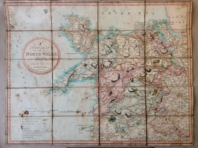
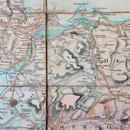
Antique sheet map of N. Wales. c1805. On cloth back.
Country of Origin: UK
Date: C1805
Condition: As found (see description)
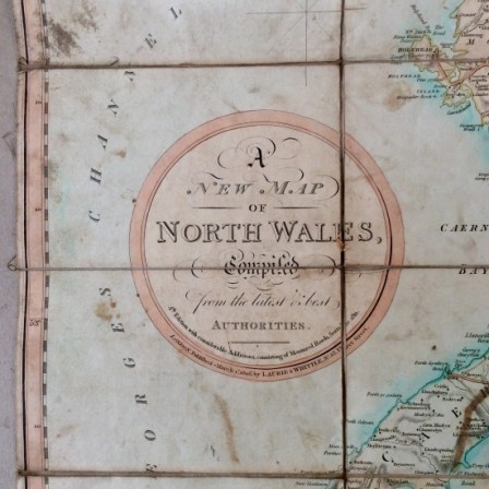
Description: Sheet map titled “ A NEW MAP OF NORTH WALES compiled from the latest and best AUTHORITIES” by LAURIE & WHITTLE,No 53, Fleet Street. Published March 1st 1805. Complete but grubby round edges. Some areas of foxing and some edges of the sheet have turned over on corners. This map was compiled using 13th edition of Paterson’s Itinerary to mark “Great and Direct Roads , and Gentlemen’s Seats, Places etc”.
Dimensions: 69cm Width, 53cm Height.
Price: £150.00
Stock Number: AWC121901


